
By Ian Sherr
J
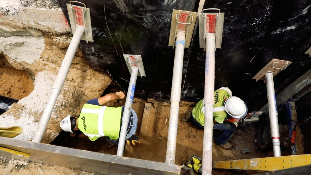
ames Jackson has a problem: He doesn’t know what he’s getting into.Every time a construction crew begins digging in Chicago, there’s a chance they’ll hit something they didn’t know was there. It might be an old water line, abandoned long ago and forgotten. Or perhaps a gas pipe, still in use but poorly documented.
Sure, his utility maintenance and construction firm, HBK Engineering, always talks to the city, and gathers blueprints and collects maps of underground pipes wherever they’re about to work. But the crews can never be certain.
In Chicago, incorporated in 1837, the underground network of pipes is so complex, and the records are so outdated and incomplete, the city has created an Office of Underground Coordination. Its job is to pore over dozens of old maps to try to identify what’s underneath a construction site before a crew digs.
And when crews do find something unexpected, they have to stop what they’re doing and call the city, which brings in a specialist to see if the pipe is being used. The crew then has to get approval to take it out so they can start work again.
“That’s just delaying time,” says Jackson, a senior vice president at HBK.
Now the solution may rest with the phone in his pocket, and a computer program the city helped develop that creates a digital blueprint of Chicago’s underground pipeline network of sewer, water, electricity, gas, broadband and other services from about 30 companies and utilities.
The mapping project is just one of dozens of smart city initiatives happening around the world. Places like Barcelona, Singapore, San Diego and Sicily are exploring projects or coordinating citywide efforts that, for instance, allow their residents to automatically report potholes, find and reserve parking spots, monitor air quality and even answer the all-important question: When will a snowplow clear my street?
In Chicago, many of these efforts are being created through $320 million public-private partnership called UI Labs (“University + Industry”). Based on Goose Island on the north end of the Chicago River, UI Labs aims to “address problems too big for any one organization to solve on its own,” according to its website. That includes the 3D map of Chicago’s underground infrastructure, launched last October.
Chicago has other projects underway as well. One standout: finding ways to combat rats. The city, which has historically received more complaints about rodents than any other major metro area in the US, saw rat complaints surge 70 percent in the first three months of 2016. Now it’s using computer analyses to predict where rats will be, based on reports of overflowing garbage andplanned water and sewer pipe repairs, which tend to bring the long-tailed pests into the open.
The city also has a website where people can see the real-time locations of snowplows after a blizzard (a big deal, given the average snowfall in Chicago is 37.6 inches). And starting next month, Chicago will begin replacing its 270,000 street lamps with LEDs, saving electricity costs and, eventually, connecting to a system that will dim the bulbs as the sun comes out.
While the projects are largely disconnected from each other, they all aim to make Chicago a much smarter city to live and work in.
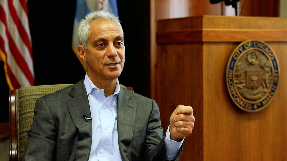
“My whole thing is to allow us not just to use data to be better at what we do, although that’s what it is, but also to continue to give people a chance to interact and interface with their government,” Chicago Mayor Rahm Emanuel, former chief of staff for President Barack Obama, tells me when we sit down together at Chicago’s City Hall.
“You have to think of this in my position, not yours,” he adds. “How do you make it — when talking about it —relevant to people? Not threatening, but welcoming?”